Image

Description
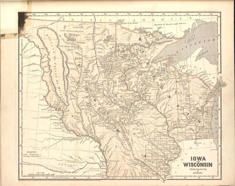
This map of the upper Midwest was included in an atlas of North America published between 1842 and 1845. The map highlights the Iowa and Wisconsin territories, both created in 1836. The Iowa territory had only been opened for settlement in 1836, following the conclusion of the Black Hawk War.
Source-Dependent Questions
- According to the mapmaker, what are the most important physical features of this region?
- What generalizations can be made about the impact of geography on early towns/cities in the counties of the Iowa territory?
Citation Information
Morse, Sidney E., Samuel Breese, and Harper & Brothers, "Iowa and Wisconsin," Morse's North American Atlas, pp. 33, 1842. Courtesy of Library of Congress