Image

Description
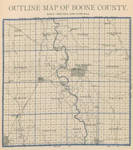
The map is entitled the "Republican Atlas of Boone County, Iowa, 1902," and is showing details of townships, rivers, towns and railroad lines. The atlas was drawn from county records and actual surveys by Hovey & Frame.
Source-Dependent Question
- How did the railroad route between Boone and Ogden change between 1875 and 1902? Use this 1875 map for comparison.
Citation Information
"Republican Atlas of Boone County, Iowa," Kenyon Company, 1902. Courtesy of University of Iowa Libraries